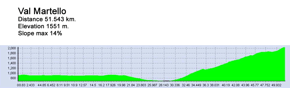
Val Martello


")

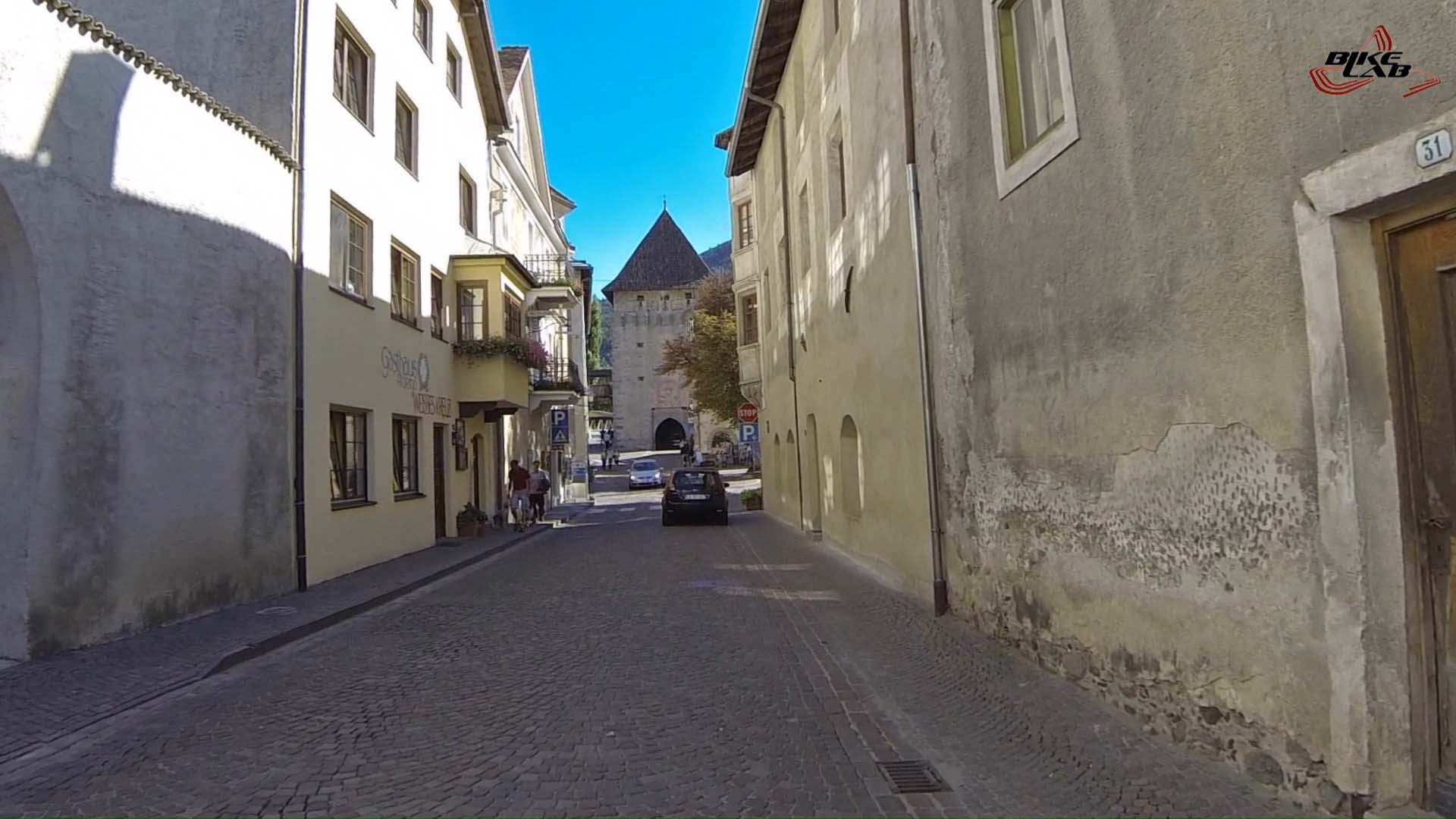
We start from Glorenza (Glurns).
This picturesque medieval town is embraced by mighty walls that protect it at the same time provides an authentic atmosphere.
Glorenza, which is part of the “I borghi più belli d’Italia" association, is located in the center of Val Venosta, dominated by archaeological site of Tarces.
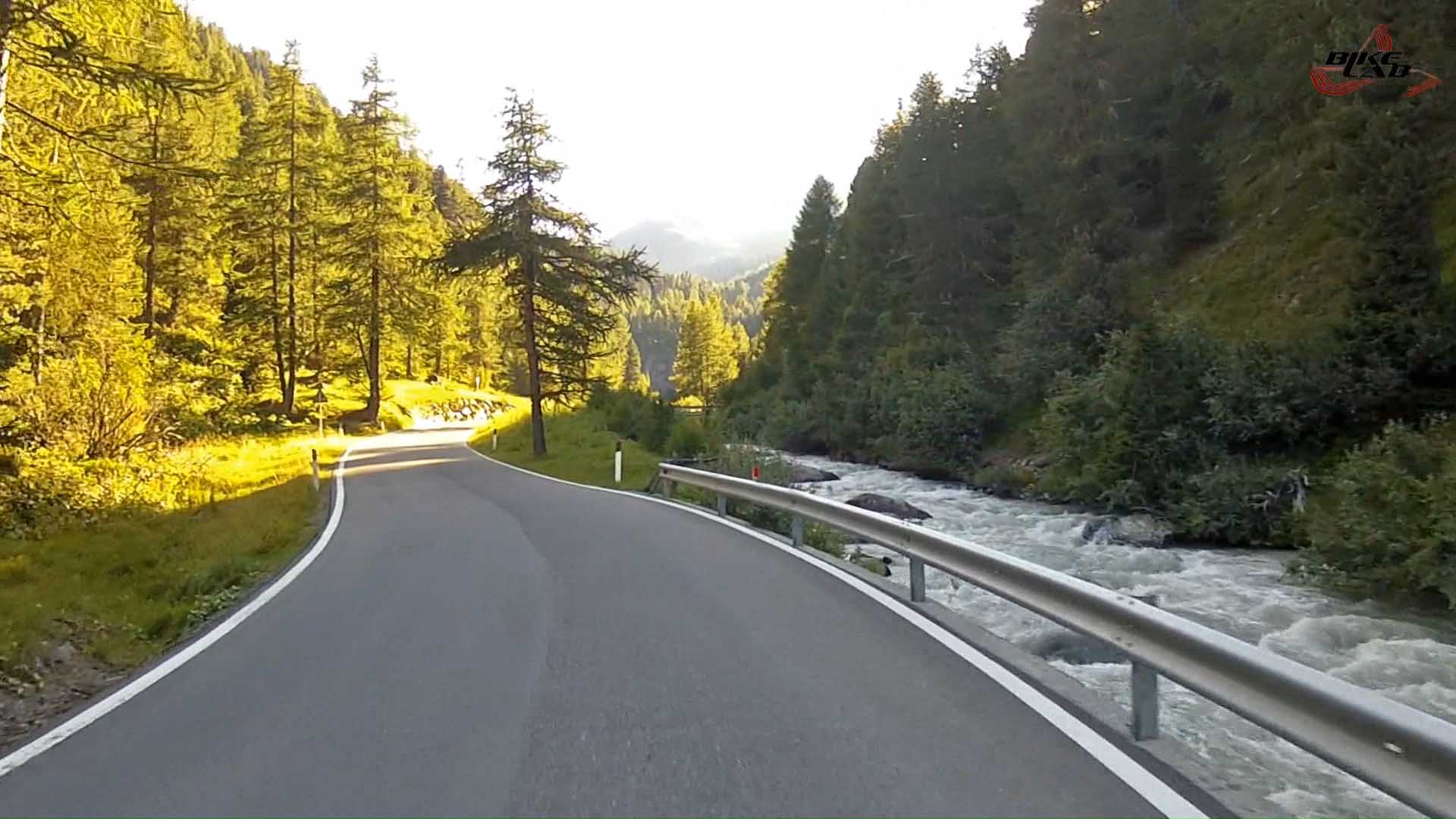
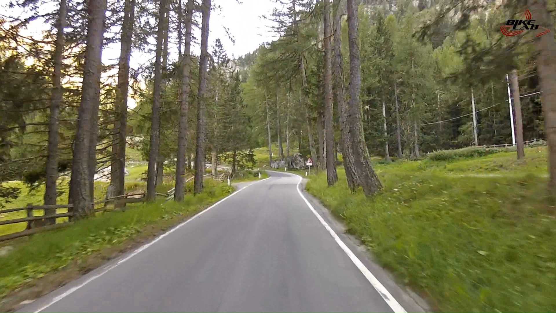
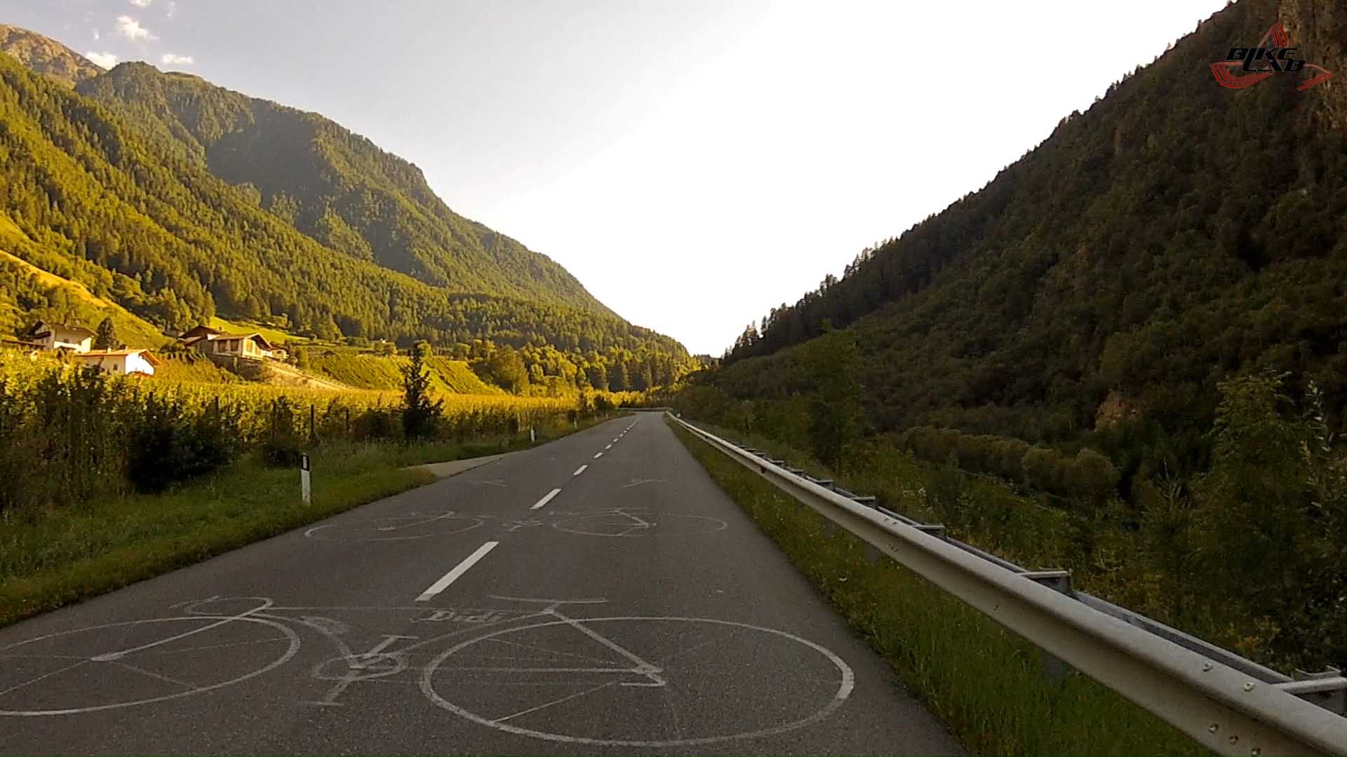
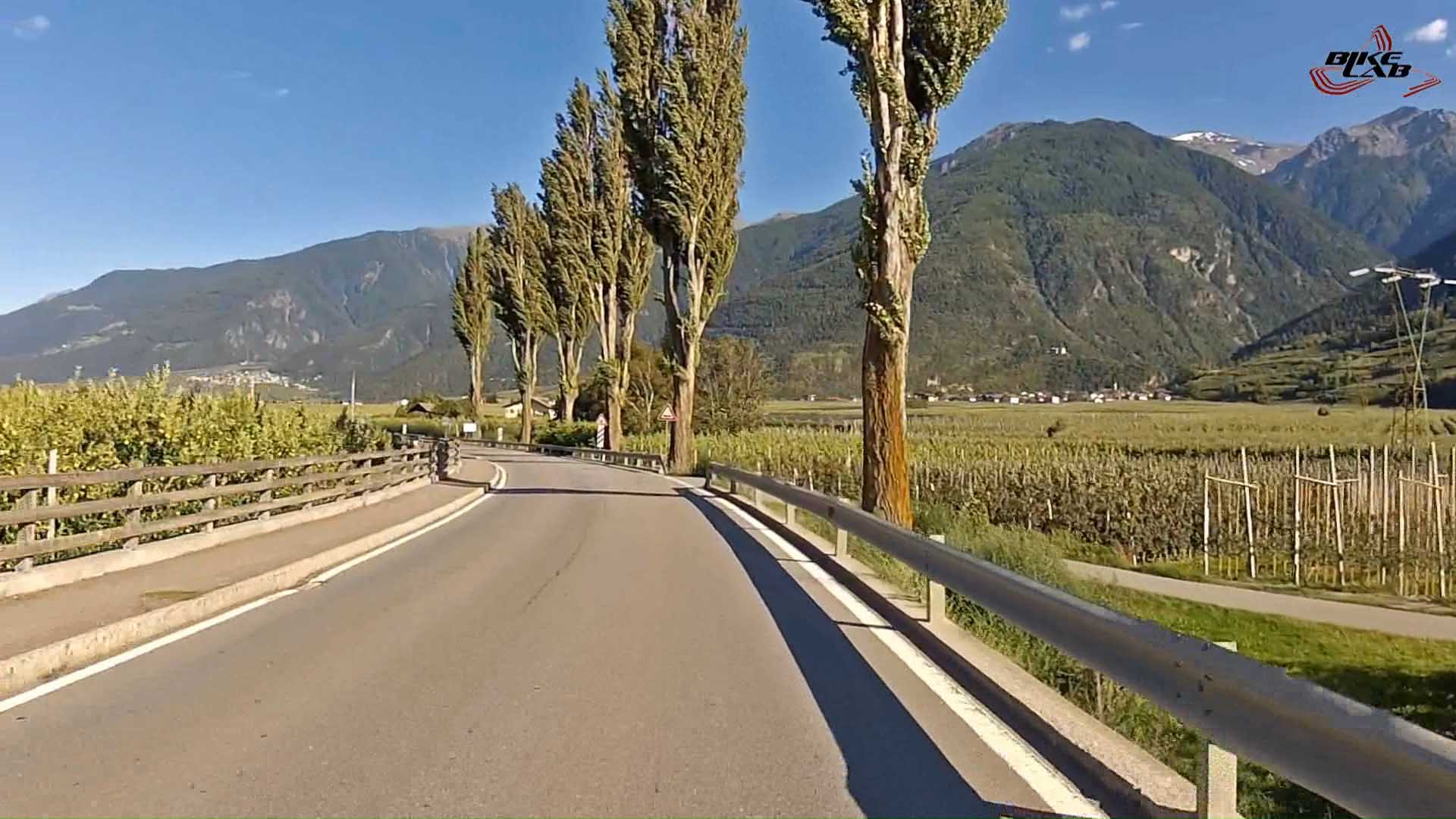
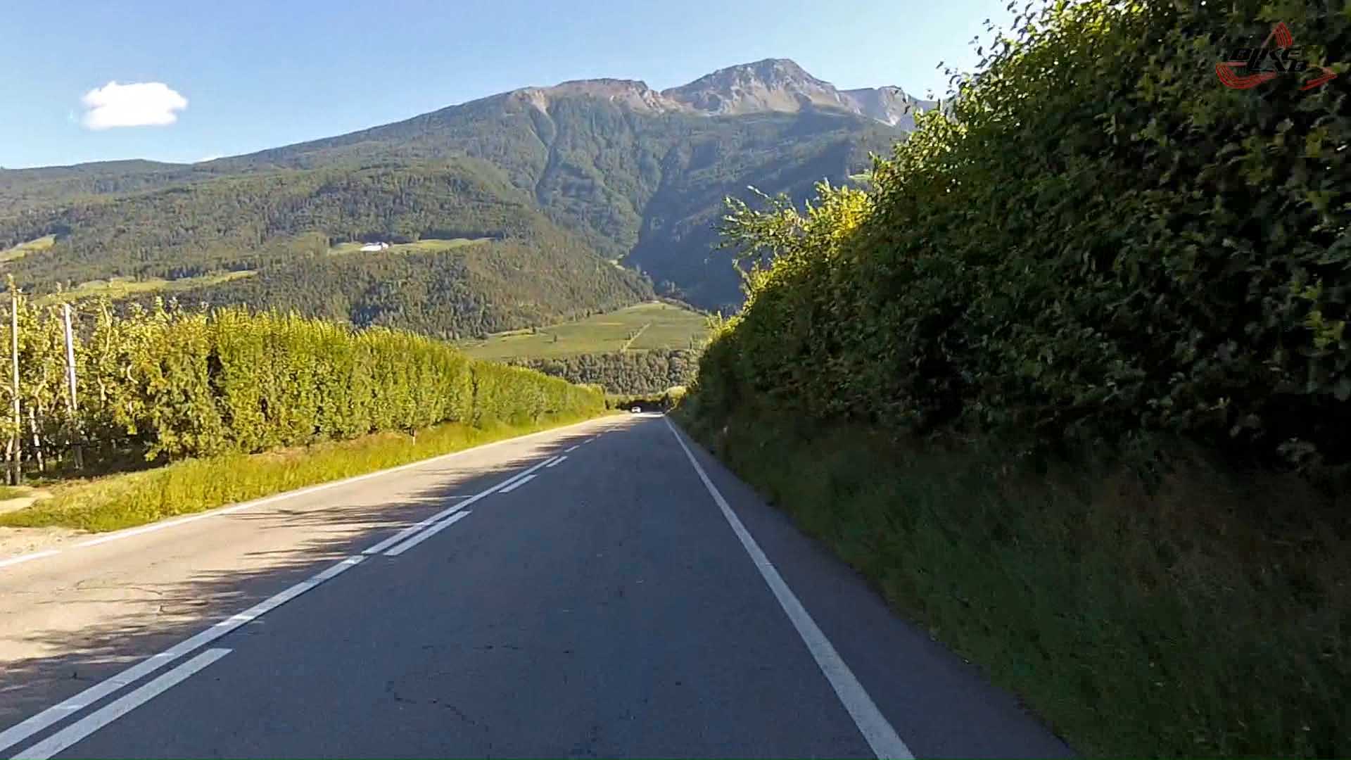
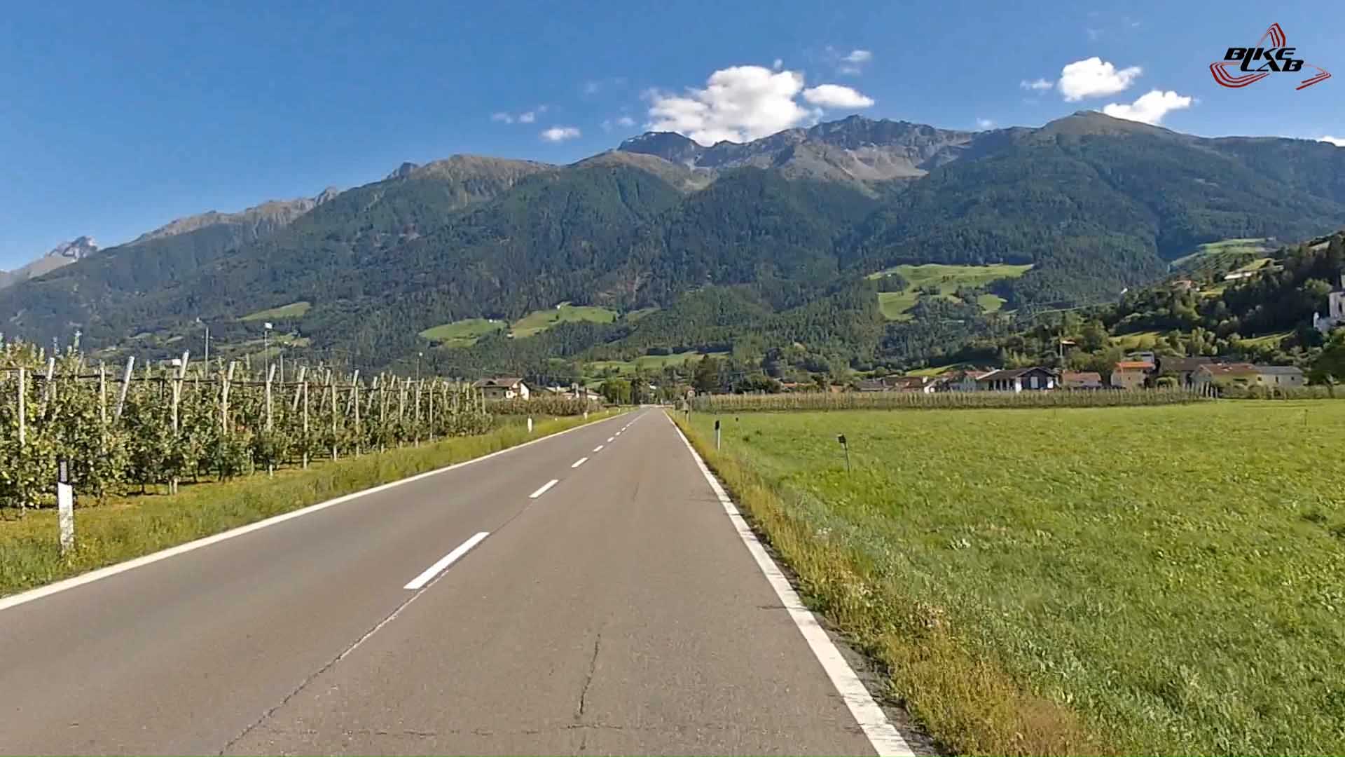
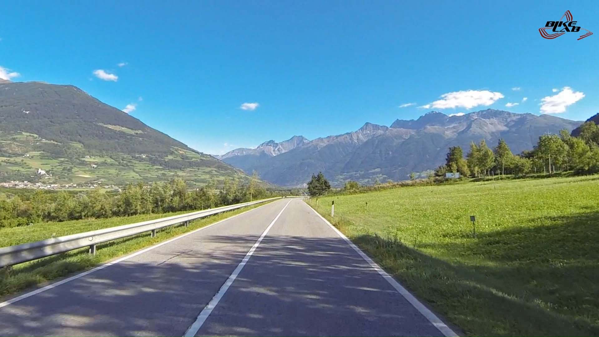
After passing through the center of Glorenza, we head towards Prato Stelvio, where we arrive after 7 km . We see the directions for the Passo dell Stelvio but, on this occasion, we turn in the opposite direction to continue along the main road of the Val Venosta. We cross the beautiful villages that characterize the valley (Spondigna, Silandro, Vezzano). Once in Goldrano turn right. After the bridge climb becomes quite hard, face steep switchbacks in six locations of Masetti Out. We are surrounded by the strawberries fields, which constitute the main characteristic of the valley. We arrive in Bagni di Salto / Bad Salt, an ancient spa resort. After a sharp drop of 600 meters up to the area of sports facilities is a moderate climb Transacqua/Ennewasser e Ganda di Martello/Gand. We continue into the woods with challenging slopes, near a group of houses the climb becomes moderate. We pass the picturesque church of St. Mary at the Foundry / Sankt Maria in der Schmelz and continue into steep ascent. They face two steep and narrow hairpin bends close followed by a short slight slope in a narrow gorge. After a salt bridge with challenging slope in the middle of a vast basin of crops where there are numerous features of rural buildings in wood. It comes down moderately for 200 meters to the hut at the biathlon center. He now faces one of the toughest and most spectacular of the route, the 10 hairpins with slopes up to 13% reported that wind through the woods close to the 80-meter tunnel that leads to the dam that creates Lake Gioveretto / Zufrittsee where you enjoys the best view on the Cevedale and its glacier.
Walk along the dock without difficulty and climb gently to the shelter Gioveretto / Zufritt Hutte , descend for 600 meters until retirement Zum See where the road narrows and goes flat in a narrow gorge . After a few easy stretches alternating ramp , cross the stream and men faced a very tough uphill stretch that precedes the final 8 bends with slopes up to 13% reported : the first 6 are close together and pass at the building of the former shelter Borromeo and the last 2 lead the hut Gentian / Enzian Hutte . In front of the hut paves the road for a few meters to the left and leave the shelter Schonblick , then he faces his final hard in the middle of the parking ramp up to a kiosk , where you continue on a slight slope in dense forest to reach in the short term paved road to the bridge over the Rio Paradise Plima. The climb is 21.3 kilometers long, the gain is 1370 meters, the average slope of 6.5 % and a max of 13.5%.
NOTE - The preview shows from YouTube is compressed and doesn't represent the true quality of our video).
km,